Morocco, it’s not a latin country. You’re thinking of ” Maracas”. It’s not in the Arab world, but it’s not Arab much. It’s in Africa and not in the middle east, but it borders Spain.
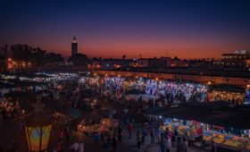
Most of you must heard of Morocco. So many iconic images of Casablanca, The markets of Marrakech, Couscous and Fes Hats, although they are not originated here, but they totally made it popular.
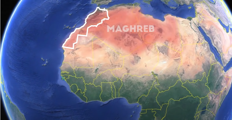
Location.
For Morocco, they have thier own interesting way of doing things, and they are kind of that west coast Arab vibes. They kind of like California of the Arab world. Oddly enough, they both have the same size and population.
The country is located in the North Africa region known as Maghreb. It straddles the Atlatic ocean to the west and the Mediterranean to the north east with a narrow 8 mile wide corridor between them and the tip of spain, Known as the Strait of Gibraltar. Even though Gibraltar; an overseas territory of the UK is 24 miles away from Morocco and the actual closest tip of spain is a town and island of Tarifa. They are bordered by Algeria to the east and Moretania to south.
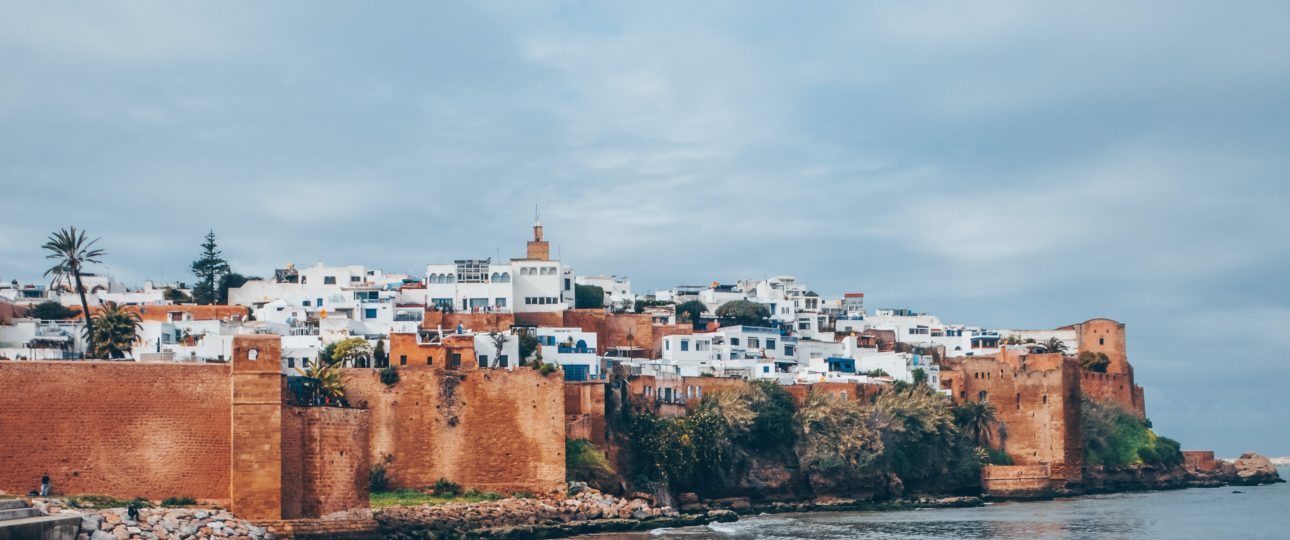
The country is divided into 12 regions, 3 of which are locked in areas with a confusing dispute. The capital is Rabat, located along the west Atlantic coast. The largest city is Casablanca is just a skip away, whereas the next largest cities are Fes, closer in land, while Tangier and Marrakech have almost identical population and sometimes switch off for third place.
Of course, the busiest airport is Casablanca’s Mohamed V international. The next busiest is Marrakech Menara and Agadir, both are incredibly popular destination for business and tourism.
Moroccan Territorial Anomalies.
Morocco has gone through a lot of severeignty switch. Historically Morocco was a French protectarate, and parts of it were colonized by the spanish. United labbels this erea as the largest and most populous non-self governing territory in the world
Basically, there was a war between all three sides; Muritania, Morocco and Algeria. Muritania eventually stepped down, but Morocco kept going,and to this day about 80% of the land, starting at around the 27th parallel including almost the entire coast and most of the resources, with a sizable off shore oil deposit is de facto run by Morocco. Out of the half million residents in this erea, only 1/5 live in the Polisario claimed areas, and about 40% alone live in the Moroccan run city of Laayoune. If you move inland though, you reach the Sand Berm; a militarized wall in the middle of the sands that seperates the SADR seperatists from the rest of Morocco. The headquarters of the Polizario front is located in Algeria in a town called Tindouf. Plus, Morocco is keeping a very close eye on making sure that they dont try something funny with access to the ocean.
If you want to vist the Moroccan Western Sahara though, you can prety much only enter from Morocco. Whereas entrance to the Polisario front claimed territory is almost impossible to any outsiders.
To this day, about 2à countries have diplomatic relations with SADR. However The USA recognize the western Sahara as part of Morocco durring Trump’s term and many other countries do support the idea of Morocco annexing the area as an autonomous self governing region under the kindom of Morocco.
If you go north on the Mediterranean, you will find the Plazas De Soberania. These are like the last and final remmants of the Spanish Empire in North Africa scattered along the coast.
According to the international law, the legality of these areas fall under Spain as scholars have been able to defend the claim that the modern state of Morocco was founded after these areas were already constitutionally part of Spain.
The two largest entities being the city of Celta, closer to Spain in the west with a population of about 82000, and Melila, a little further east with a population about 80000 and it has its own airport; in addition you have the three Alhucemas Islands, the three Chafarinas Islands.
Physical Geography.
Many people tend to think that northan Africa is all sand, but actually 2/4 of the country is green. The Atlas thrust fault lines cutting through the country just at the very northan tip at the Rif mountains. This also creates the other three mountain chaines: the middle Atlas, the anti-Atlas and the High Atlas, where the tallest peak and the tallest in north Africa can be found, Toubkal at 4682 meters altitude. Also you can find the largest lake, The Bin Elouidane reservoir, and the source of the longest river, the Daara river.
Basically, the coastal areas north of the mountains where the majority of the population live, are of course flatter and arable with more lush vegetation. Sometimes it even snows in the high altitudes. Morocco has even the largest ski resort in Africa. Whereas everything south of that is prety much dry, rocky and hot.